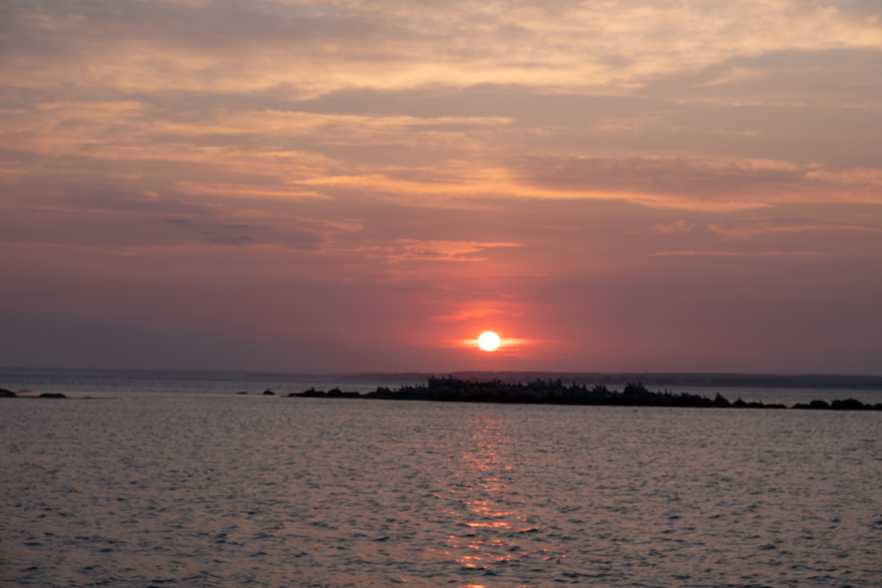
Anchoring guide for East Harbor on Fishers Island, including wind protection, holding ground, depths, approach, shore access, and tips from local cruisers.
🧭 Overview
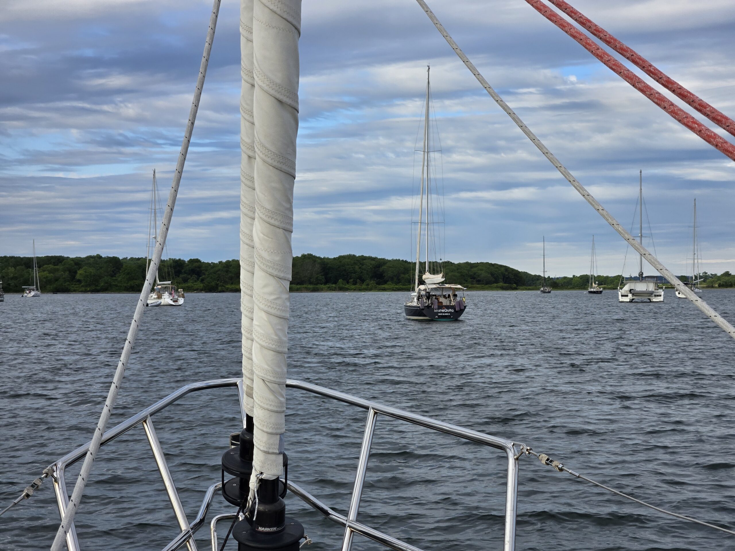
Quiet, uncrowded and beautiful, the less commonly visited East Harbor is a great option as an overnight or stopping point to wait for a fair current through The Race. No public shore access here. The water is beautiful for swimming or paddling.
🌬 Wind Protection
- ✅ Best protected in: S, W, E
- ⚠️ Exposed to: N
- 🌀 Notes: Fishers Island Sound has some current but once tucked in the harbor, there is no issue.
⚓ Holding Ground
- ⛱ Type: Mud
- 💪 Holding quality: Good
- 💡 Tips: Easy access and lots of room. One rocky area in NE corner but mostly wide open.
🛟 Approach & Depths
- 📍 Hazards: Be aware of the current in the Fishers Island Sound. Some well marked rocks to stay clear of. A few trap buoys to avoid.
- 🌊 Depth range at low tide: 12-15 feet
- 🧭 Preferred approach: Observe wide marked channel.
🚤 Shore Access
- 🛶 Dinghy landing: There is no shore access in the East Harbor
- 🏙 Closest services: There is shore access from the West Harbor
💤 Things to Do
- 💦 Enjoy the peace and beauty. Swim. Paddle
- 🔇 Quiet cove
🌊 Timing The Race
The Race, the gap between Long Island Sound and Block Island Sound just west of Fishers Island, is where the current runs hardest. Check the predictions before you leave East Harbor:
Most boats visiting Fishers Island head for West Harbor, the island’s main anchorage, which has some access to land. East Harbor is the opposite: smaller, quieter and more secluded, with no public shore access at all.
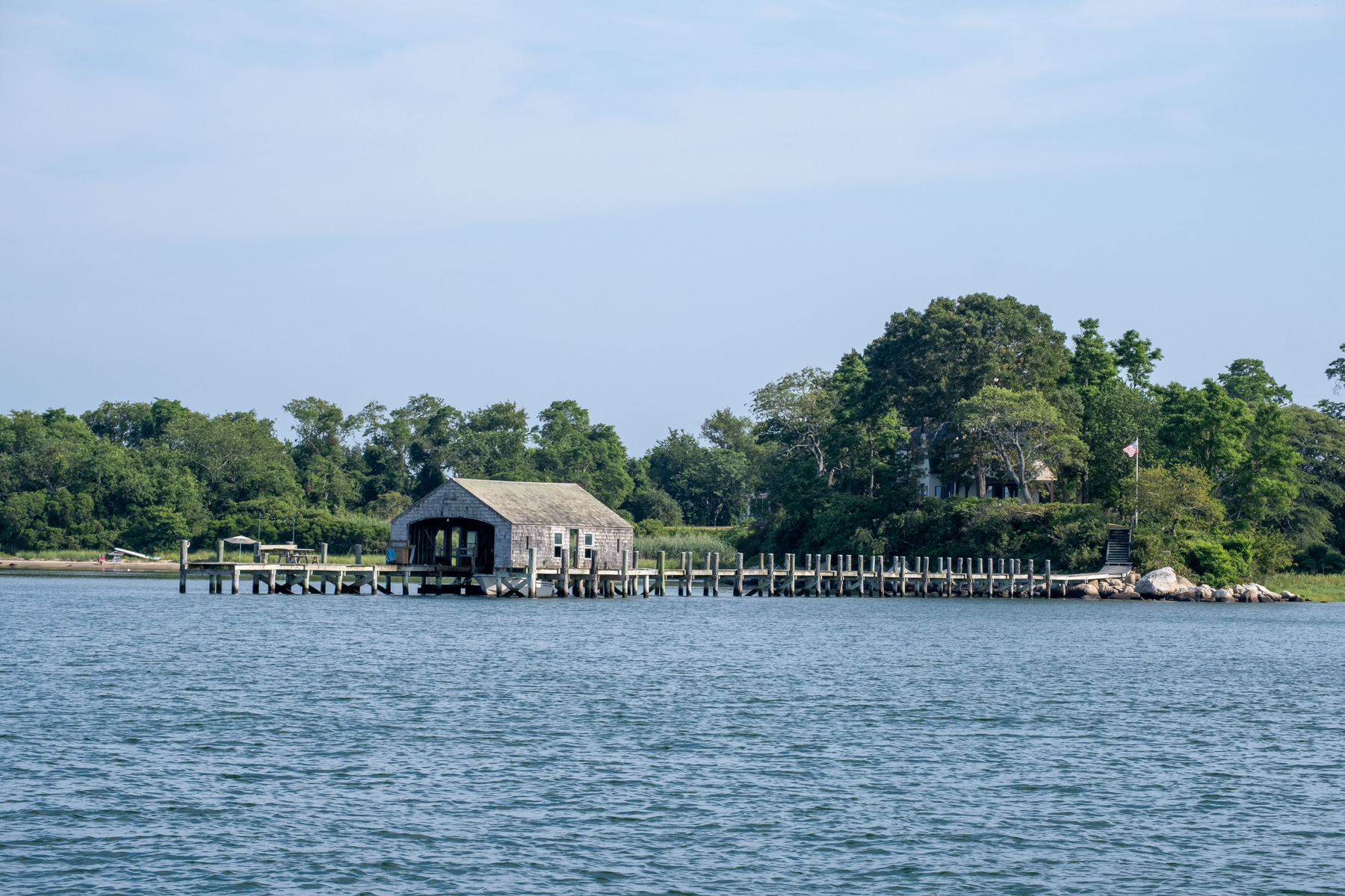
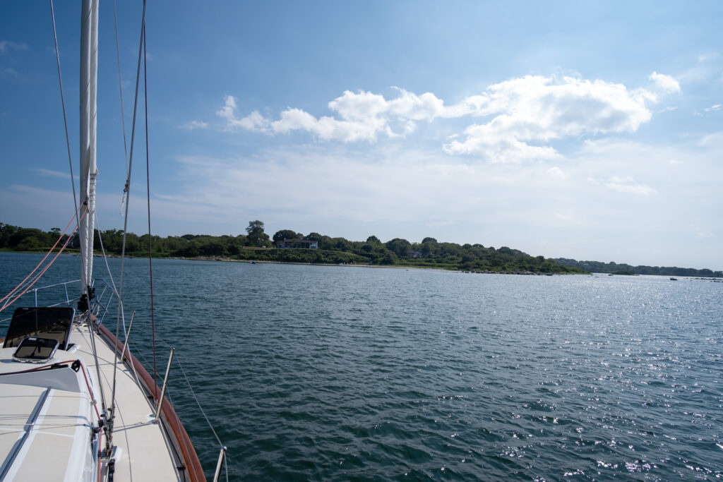
What it does have is location. East Harbor sits very close to the entrance to the Mystic River, which makes it a good place to stop before or after a trip up the river to Mystic. It’s also a handy spot to wait out the strong current in The Race. Drop the hook, have a swim, and go when the current turns fair.
🔗 Related Posts
- 👉 Cuttyhunk: another island stop at the edge of the Elizabeths
- 👉 Beyond the Bay: more destinations within reach of Newport
- 👉 Anchoring lessons from hundreds of nights on the hook
- 👉 Tides & currents for Newport, the Cape Cod Canal and Woods Hole
Leave a Reply